O que são os Sistemas de Informação Geográfica (SIG) | What are Geographic Information Systems (GIS)?
Os Sistemas de Informação Geográfica, ou SIG, são ferramentas que ajudam a perceber melhor o que existe à nossa volta através de mapas. Funcionam ao relacionar informação com o local onde ela ocorre, por exemplo, onde estão estradas, casas, árvores, tubagens, rios ou linhas elétricas, apresentando tudo de forma organizada num mapa fácil de entender.
Para isso, os SIG utilizam vários tipos de dados, como imagens, mapas e tabelas, colocando-os em camadas, quase como folhas transparentes sobrepostas. Quando estas camadas se combinam, conseguimos identificar padrões e perceber relações que não seriam evidentes apenas a olhar para números. Isto ajuda pessoas e organizações a tomarem decisões mais informadas.
Os SIG têm quatro elementos principais: mapas, onde a informação é representada; dados, que indicam o que existe e onde existe; análises, que permitem prever e compreender situações; e aplicações, que tornam tudo acessível no computador, telemóvel ou tablet. Na verdade, muitos de nós já utilizam SIG no dia a dia sem se aperceber: no GPS do carro, no Google Maps, nas previsões do tempo do IPMA ou em plataformas como o Geoportal da Sonorgas.
Na gestão de infraestruturas, como redes de gás, eletricidade ou água, os SIG são especialmente úteis. Permitem visualizar toda a rede num mapa, saber exatamente onde estão tubos, cabos ou equipamentos e compreender como tudo está ligado. Ajudam também a localizar rapidamente avarias, identificar zonas e clientes afetados e planear intervenções de forma mais rápida e eficiente. Além disso, são fundamentais para decidir onde construir novas partes da rede, analisando o terreno, os custos e as necessidades das populações.
Estas capacidades trazem várias vantagens: menor risco e menores custos, maior eficiência das equipas, melhor comunicação entre técnicos e gestores e uma visão completa e atualizada de toda a rede. Em resumo, os SIG tornam o trabalho mais simples, mais seguro e mais eficaz. (Carlos Rua)
Fontes: ESRI Portugal
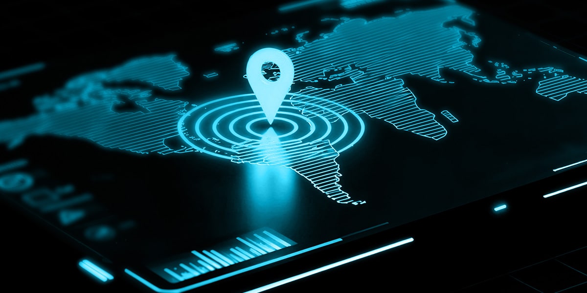
Fonte Imagem: https://www.wirtschaftsforum.de/esri-deutschland-gmbh/wo-daten-ihren-ort-finden
Geographic Information Systems, or GIS, are tools that help us better understand our surroundings through maps. They work by relating information to the place where it occurs, for example, where roads, houses, trees, pipes, rivers or power lines are located, presenting everything in an organised way on an easy-to-understand map.
To do this, GIS use various types of data, such as images, maps and tables, placing them in layers, almost like transparent sheets superimposed on each other. When these layers are combined, we can identify patterns and understand relationships that would not be evident just by looking at numbers. This helps people and organisations make more informed decisions.
GIS has four main elements: maps, where information is represented; data, which indicates what exists and where it exists; analyses, which enable us to predict and understand situations; and applications, which make everything accessible on a computer, mobile phone or tablet. In fact, many of us already use GIS in our daily lives without realising it: in car GPS, Google Maps, IPMA weather forecasts or platforms such as Sonorgas’ Geoportal.
GIS are particularly useful in the management of infrastructure such as gas, electricity or water networks. They allow you to view the entire network on a map, know exactly where pipes, cables or equipment are located, and understand how everything is connected. They also help to quickly locate faults, identify affected areas and customers, and plan interventions more quickly and efficiently. In addition, they are essential for deciding where to build new parts of the network, analysing the terrain, costs and the needs of the population.
These capabilities offer several advantages: lower risk and lower costs, greater team efficiency, better communication between technicians and managers, and a complete, up-to-date view of the entire network. In short, GIS makes work simpler, safer, and more effective. (Carlos Rua)